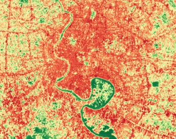
Regional Land Cover Monitoring System
The regional land cover monitoring system (RCLMS) provides annual 30-meter resolution land cover maps from 2000 to 2023 , designed for various user-defined objectives with high accuracy. It ensures consistency over time through a regional classification scheme and updates maps annually using open-source remote sening data.
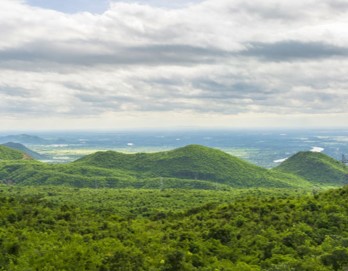
Forest Monitoring
The forest monitoring system is a product of the collaboration between SERVIR SEA and the Global Land Analysis and Discovery Lab (GLAD) from University of Maryland. The tool allows users to view and download raster maps of annual tree canopy cover percentage and, annual tree height, and to create binary annual forest extent maps by customizing the country’s forest definition. Users can also calculate key forest dynamics, including forest gain and loss, by customizing forest definition and the change period. This tool extends the forest cover maps to Philippines and Indonesia since 2020.

Myanmar Land and Agriculture Monitoring Project (LAMP)
The Myanmar Land and Agriculture Monitoring Project (LAMP) is an open-access, web-based tool designed to monitor the performance of landscape-scale efforts and biophysical conditions on-the-ground in Myanmar. The core features of this tool include maps, charts, and descriptive information to track various environmental parameters critical to environmental protection and safeguarding.